We entered the Rocky Mountain region this week as we made our way over the Oregon border and into Idaho. Where last week we were sleeping in below freezing temps, this week had us biking without shirts and trying to find refuge in shade to combat the heat. Without a doubt, the highlight was Hells Canyon, the deepest canyon/gorge in North America. Despite biking over 250 miles, we have been in the shadow of this recreation area all week long, though to be fair we did take a few out and back routes to try and take in all the scenery of this place.
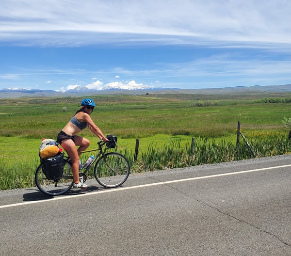
We are loving Idaho. The steep mountains and rapid-filled rivers have us stopping around every bend to ensure we don't miss any of the sights. While sparsely populated, the people have been super nice to us and genuinely interested in learning more about where we've come from and where we are headed next.
Distance: 262 Miles
Elevation Gain: 15,101 feet
Campgrounds
Copperfield Campground (Oxbow, OR): Here, you are charged by site, not by person. Tent sites are $10/night. We shared a site with our friends Zoe and Caroline, but didn't even pay since Charlie, a new friend we met upon entering camp, offered us to share his space with us. The grounds are right along the Snake River, the spots are flat and grassy, and it's an all around beautiful spot for the night. Showers are included and hot. The nearest store is 5 miles up the road (Scotty's), so plan to bring food with you. The only downside we experienced was that snails crawled all over our tent and gear overnight, so we had gooey bags to deal with in the morning.
Woodhead Park (Gateway, ID): Tent sites here are $10.80 for the night. We ended up getting a deal on an RV spot (typically $17/night), since we were dead tired and didn't want to bike up and down a big hill at the far end of the park, where the tent area is located. Showers are included and hot. The grounds are located on the reservoir above Brownlee Dam, so you get a gorgeous view of the lake and mountains on the far side when camping here. The closest store for food is the Gateway Store and Cafe, about 3 miles south.
Welser River RV Park (Council, ID): This RV park is only 1/2 mile from Council town center. Tent sites are $15/night and located in a big grassy area. Showers are hot and located in a well maintained, clean, building towards the front. This building also has laundry available for only $1.50 per load. While grassy, the ground is a bit lumpy, and there is not a ton of shade if it's hot out. Still, we found this to be a comfortable place to spend the night.
The Route Deets:
Out if Baker City, we made our way along a few back roads before meeting up with the 86 east towards Richards. There were a bunch of Oregon trail historic markers that we stopped at, and it was cool imagining pioneers coming up the route we were on back in the day.
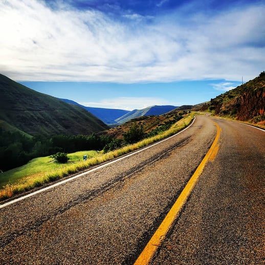
The road rolled up and down before steadily taking us downhill for several miles. We entered a gorge that cut through the Foothills of the Walla Walla range. This was a beautiful part of the days ride and we stopped to take a ton of pictures.
After stopping for lunch in Richards, the road went up a steep grade for a few miles. Being the heat of the day, this was a tough section for us, but we we're able to make it to the top and then enjoy a long winding down hill ride into the valley. The snow-capped peaks in the distance we're a beautiful backdrop as we made our descent.
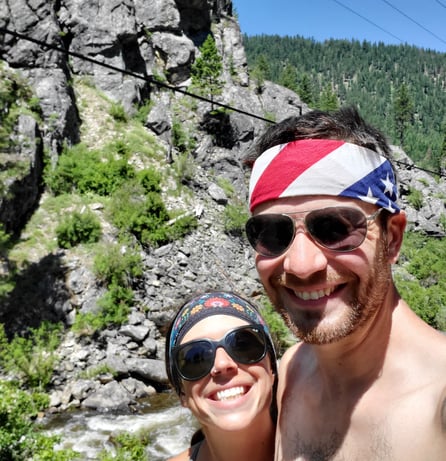
The road continued down through Halfway and into the Hells Canyon region. Again, the hills and canyon walls cut against the road were awe inspiring for this sections. We crossed the Snake River in Oxbow and moved down river to get a better look at the famous Hells Canyon. I wrote more about the struggles we faced for this day here: Tormented in Hells Canyon.
Outside of Oxbow, we took the cutoff road (Brownlee-Oxbow Highway) south along the Snake River until crossing to Idaho at the Brownlee Dam. The road continued along the river a few miles into the small village of Gateway. From the Gateway Store and Cafe, there was a 7 mile, relatively steep, climb up through the forest. The road then leveled out in the hills before a gradual descent into Cambridge.
In Cambridge, we hopped onto the 95, which is the only major through-way north in this part of Idaho. While there are a lot of trucks and traffic, the shoulder is adequate and we felt as though drivers gave us plenty of space. The road gradually inclined to the small town of Council. We really liked this spot and spent the night exploring the shops and eating some delicious pizza.
There was another relatively long climb out of Council into New Meadows. The climb wasn't all that steep, and it was a beautiful road along the Weiser River. From New Meadows, we thoroughly enjoyed 33 miles riding downhill along the epic Little Salmon River. In no time, we made it to Riggins, ID, where we spent another day off the bike.
For a more in-depth look at our trip exploring Hells Canyon, don't miss this: Tormented in Hells Canyon.
For more on where we've been and where we are headed next, don't miss out on this page: Biking the US.
Topics: Camping, Maps and Routes, USA